RAILSTATE DATA
Independent. Unique. Immediate.
We use a proprietary network of image-capturing sensors and advanced machine learning to bring you the only source of rail network insights.
Rail Data Direct From The Source
We don’t buy data from third parties, aggregate feeds from other providers, or have arrangements with railroads to acquire data, instead we go right to the source: the trains.
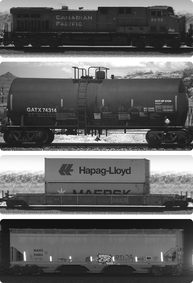
We create a comprehensive understanding of the rail network by measuring trains as they travel. Using proprietary sensors, strategically located at key points on the rail network, RailState captures thousands of images of each train.

6 Billion Images and Counting
To provide a full understanding of the North American rail network, it takes a lot of images, billions in fact.
Over the past five years, we have processed more than 6 billion images of trains to teach and improve our machine learning algorithms and extract key data elements from every train.
- Low latency data available to customers less than 25 minutes from measurement
- Battle-tested to provide accurate data in all locations and conditions from minus 50 to more than 120 degrees F
- Continuously updated, to provide the latest data at all times
- All available through an easy-to-use web-based user interface or API
The Data We Collect
Comprehensive analytics on all aspects of each train movement
Train Data
Railcar Data
Movement Data
Container Data
HAZMAT Data
Locomotive Data
Our Coverage Area
Our network is already continent-wide. We have complete coverage across Canada, all major U.S.-Canada and U.S.-Mexico border crossings, and we’re rapidly expanding across the United States.
Check the map to see current and planned coverage.
- Blue: Up to 4 years of data history
- Green: Coming online within the next 90 days